2019 Arkansas motorcycle trip
Day 2

|
May 24
When I put batteries in the camera this morning it asked for the date & time. Hmmmmmmm. It asked that yesterday, too. I guess the internal memory battery in my old Canon Powershot finally croaked. That sucks since I use the time on the pictures in conjunction with the GPS tracks to match the pictures with the location. Over the winter I bought a couple nicer cameras on Ebay. I'll be trying them out on the trip.
 It rained a little last night so there was some dampness around. I added some water to the overflow tank since I had forgotten to check the antifreeze before the trip. Today will be our longest leg of the trip at 373 miles. I had plotted the shortest and straightest route possible. I finally gave my windshield a good cleaning. After packing the trailers we visited the office for breakfast. I stick to eggs. Biscuits and gravy tempt me but I have learned to avoid it on trips.
 Eddyville, KY. 8:35, mileage 99,989 - It was a short drive down the road for fuel. We're ready to get the ride started and knock off some miles.
 Not far down I-24 we crossed the Tennessee River and my bike reached a milestone...
 ...100,000 miles. It had 19,xxx miles when I bought it 12 years ago. I've put a lot of good miles on the orange beast.
 Not much farther down the road we came upon stopped traffic. Booo! It was hard to tell how far the backup was. I turned on the CB and from what I could gather a semi had wrecked. A couple police cars and fire trucks passed us on the side of the road.
 Judging by the debris, skidmarks, and vehicles it looked like a small car had turned in front of the semi at the off ramp. The small car lost that contest. It took us about 20 minutes to clear the traffic jam.
 I am always on the lookout for anything train related on our trips...like this railroad yard. Hopefully the grain hoppers are being used and not just stored.
 I-24 veers northward at Paducah so we continued on US62 then KY-286. US60 and US62 intertwine often in this area but KY-286 was the straightest route. All three roads merge in Wickliffe.
 A few days before our trip there was a tornado outbreak in Missouri and surrounding areas. We had planned to stop at Jefferson City on our way home but we'll probably have to rethink that as they were hit hard by a tornado.
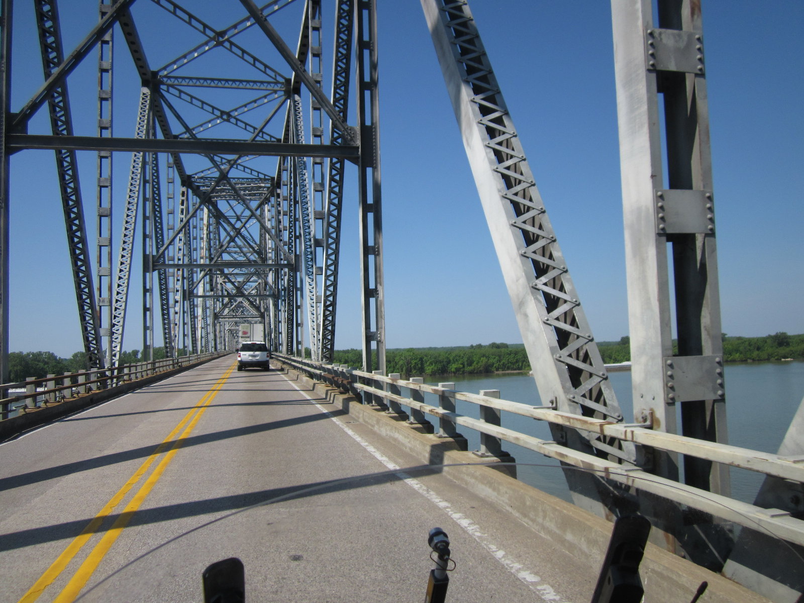 Leaving Wickliffe we cross the Ohio River. I like the old girder bridges. After crossing the bridge we stopped at an intersection for a few minutes waiting for traffic to clear. A semi was behind us and a German Shepard had his head out the window barking at us. Maybe we looked tasty? Maybe he didn't like Goldwings?
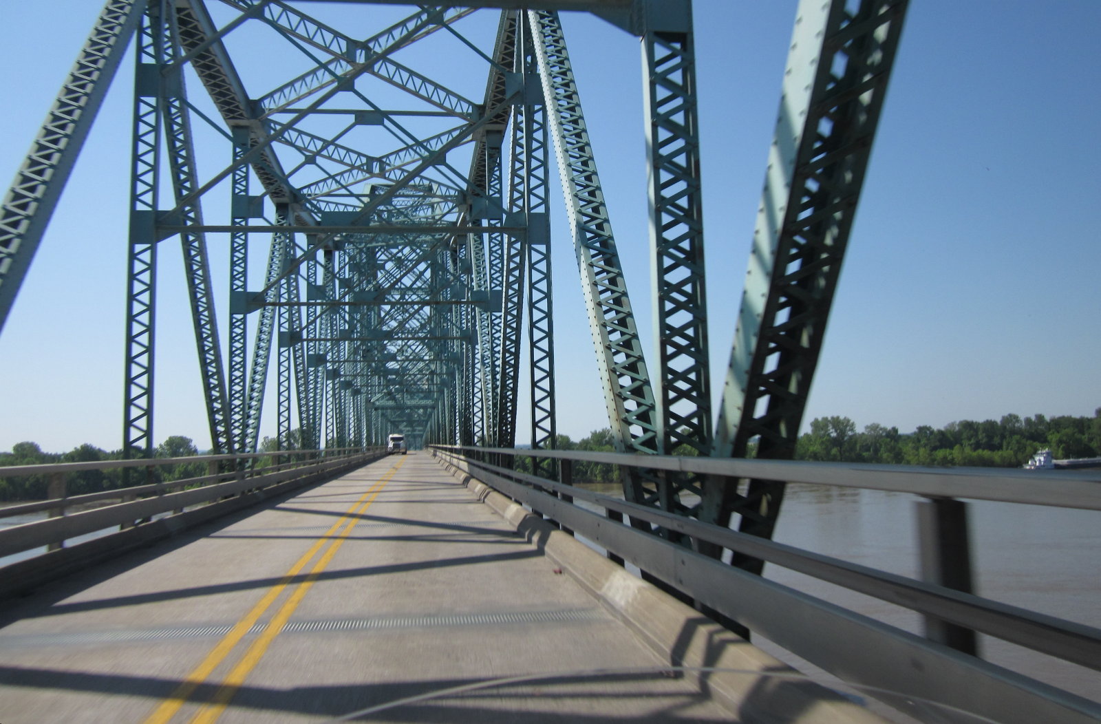
Crossing the Mississippi River on another girder bridge.
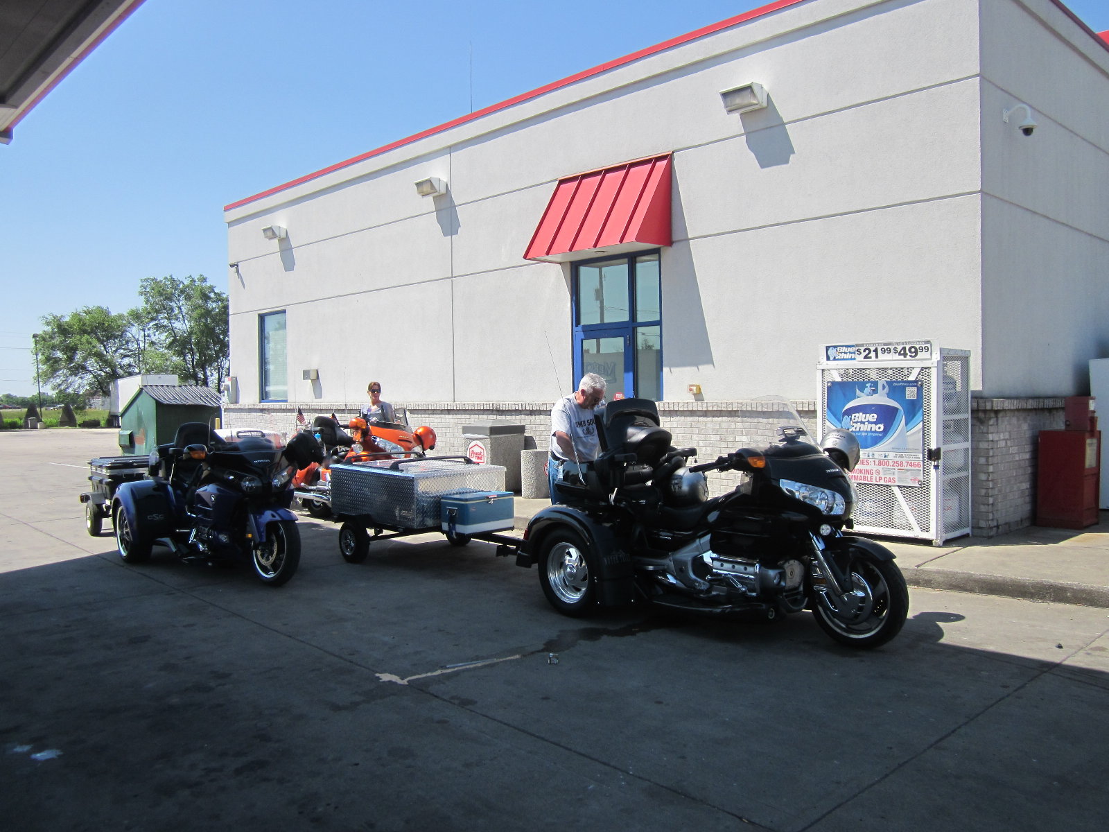 Sikeston, MO. 10:42, mileage 100,082 - We took US62 all the way to Sikeston. Donna & I rode this road in 2017.
 Our next stop was at Lambert's Cafe. We'd been looking forward to eating here all morning. They have generous portions of great food. They also come around with other 'pass around' dishes to try...and the 'throwed rolls' they are famous for. Donna got frog legs and I had pork chops. We left with containers of extra food. It will make a good supper.
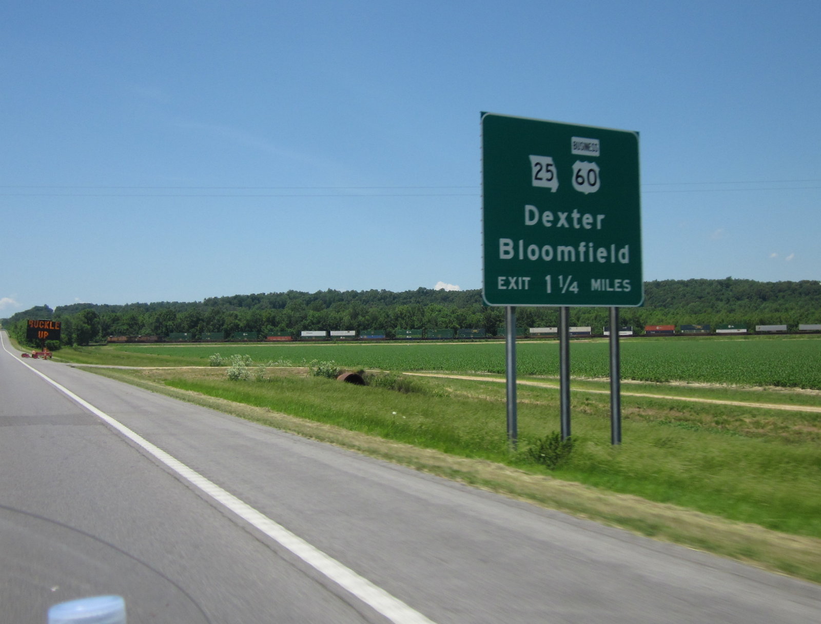 Leaving Sikeston we took US60 which is divided 4-lane. Cruise control and footpegs were deployed. Near Morehouse I saw an intermodal train.
 There are no interstates or US highways in this area that went where we needed so at Doniphan we took MO-142 to Thayer. I expected to find a gas station in the Doniphan area to stop at as we had already traveled ~90 miles by then. Several weeks ago I was exiting the skidsteer when my pant leg caught on a tow hook that is welded to the bucket, and I crash-landed on concrete and the steel bucket. My right hip has been sore since. My sore hip was ready for a stretch by Doniphan but there were no gas stations so we continued on...and continued...and continued. There were no gas stations, no stores, no churches...nowhere to stop and rest. We rode another ~40 miles to Thayer without finding anything. I was beginning to think Thayer was going to be a bust also but Donna spotted a gas station just as we passed its entrance. John and Mike were quicker and pulled in.
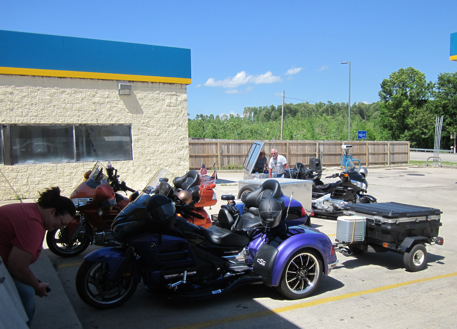 Mammoth Springs, AR. 14:49, mileage 100,218 - The road was divided with nowhere to turn around so Donna & I continued down the road. We popped over a hill and spotted a less-crowded Valero station so we pulled in there. Donna called Jerri to let them know where we were. Soon the others joined us. It felt so good to stretch after 136 miles of 2-lane roads. The temperature was in the upper 80s so we stood in the shade. We also broke out the sunscreen.
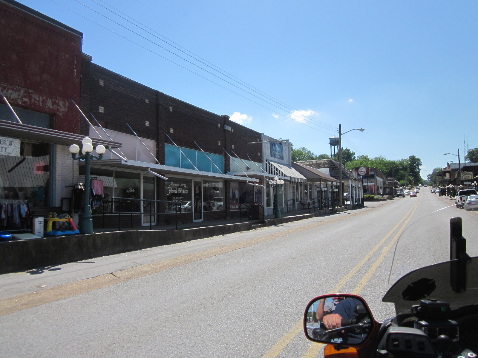
Riding through Mammoth Springs. We had another ~15 miles of state highway before we reached Salem and US412...and about another 140 miles after that. The 'miles to destination' display on the GPS couldn't count down fast enough given the heat and sore hip.
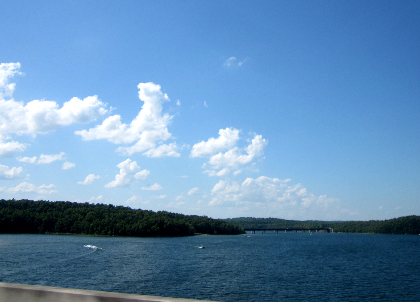 At Henderson US412 crosses Norfork Lake. The water looked inviting. I enjoy crossing lakes. It seems to have a mentally cooling affect. As the miles drone away I often think about traveling and my parents. What were their travels like as a young couple? As kids we normally went on a trip every summer. Now that I'm an older adult I wonder about those trips from a different perspective, not just as a kid riding in the back seat. They had logistics and aggravations that us kids didn't understand. Dad used to go fishing in Canada (Red and Trout Lakes) and Arkansas (Lake Ouachita) in his middle years. Too bad we don't have trip reports of their travels. I'm sure it would be a great read.
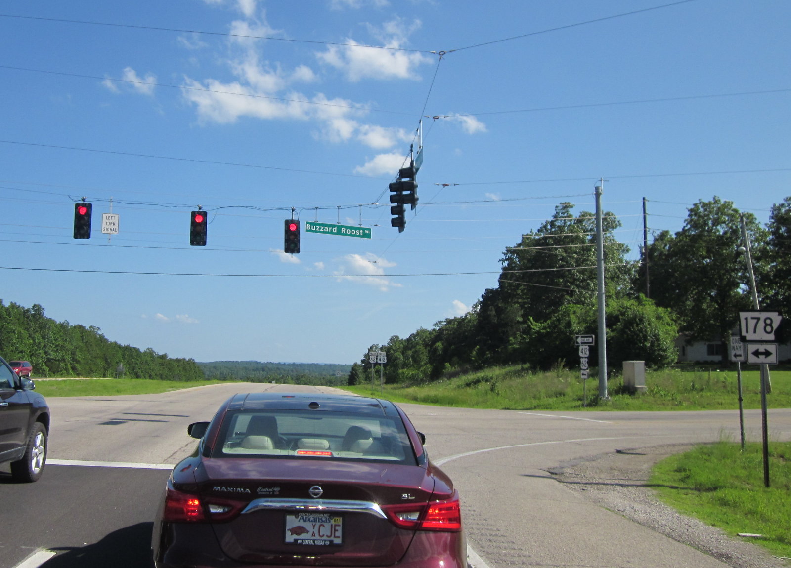 At Mountain Home we came upon Buzzard Roost Road. Funny. The terrain is starting to become more hilly and pretty. Kind of reminds me of Pennsylvania or eastern Tennessee.
 Such a pretty picture. Bluffs. A river. A nice house and fields of hay bales. Puffy clouds in a blue sky. America.

It's always nice to see Old Glory flying proudly.
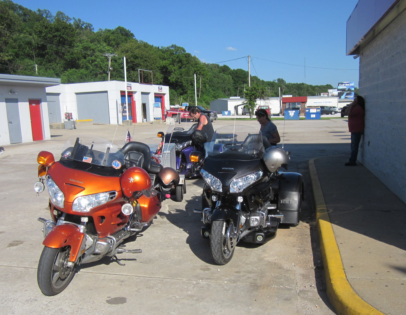 Harrison, AR. 16:27, mileage 100,329 - We are slowly getting closer to our destination. You can tell by Mike's arm that the sun is baking us. This should be our last gas stop for the day. One of my co-workers, Chuck Jacobs, does rider and safety courses for the GWRRA. Last weekend he was near here in Branson. The weekend after we leave he will be here in Harrison. This spring he has also traveled to York, PA, and Parkersburg, WV. He does the miles!
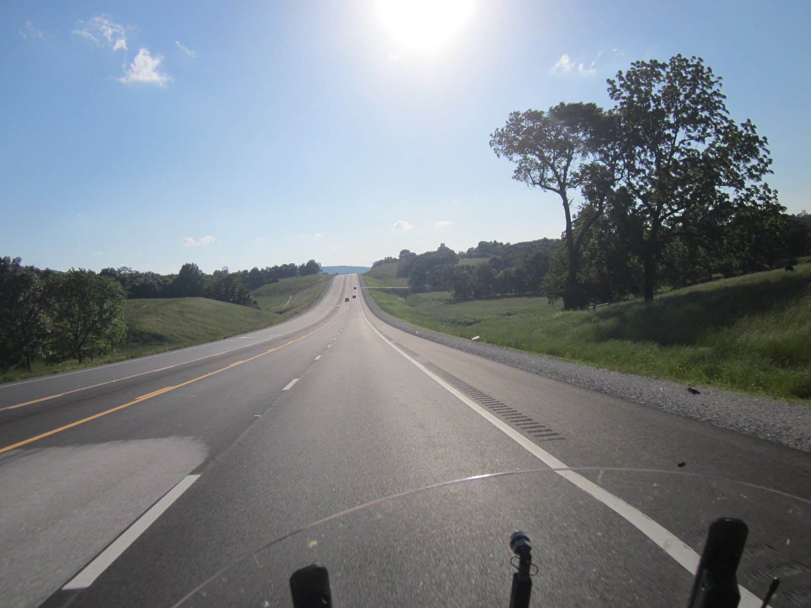 Leaving Harrison US412 was 4-lane until Alpena. Crank it up and let's get there! At Alpena US412 and US62 split. We took US62. When generating the route for the day I chose a road that bypasses Eureka Springs. They were having a bike rally that weekend and I thought it might be crowded. I used Google Map views to make sure the road was in decent condition...no gravel or dirt roads. I used Google street view to see what it looked like where I needed to turn. There was an Exxon station there. That should be hard to miss. When the GPS told me to turn there was no Exxon station, just a polebarn. The road was in worse shape than showed on the Google view. There were a couple unexpected downhill rollercoaster drops. The Google views must be very old.
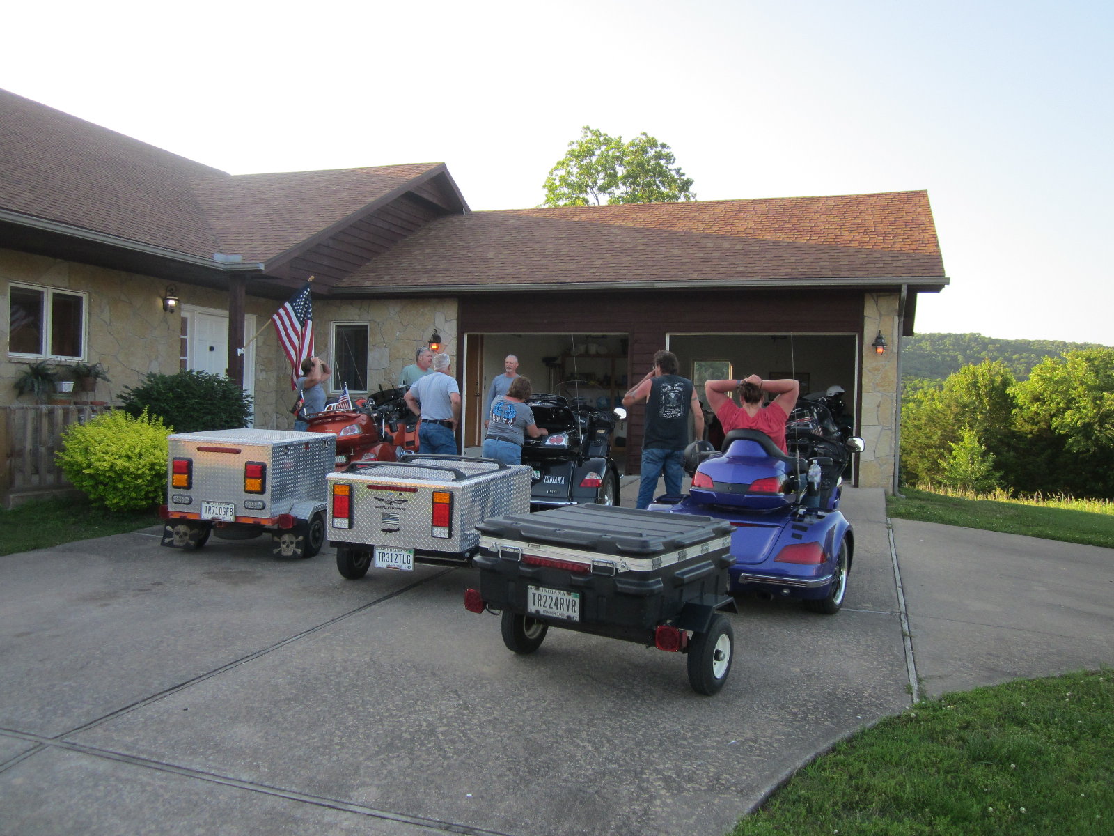 We've arrived! I was glad I had the GPS to guide me to the house. There were several turns along the way and it would have been easy to have made a wrong turn on the myriad of roads on the island. It felt great when the house came into sight. Patrick (green shirt) and Wes (blue shirt) had been there for awhile and came out to greet us.
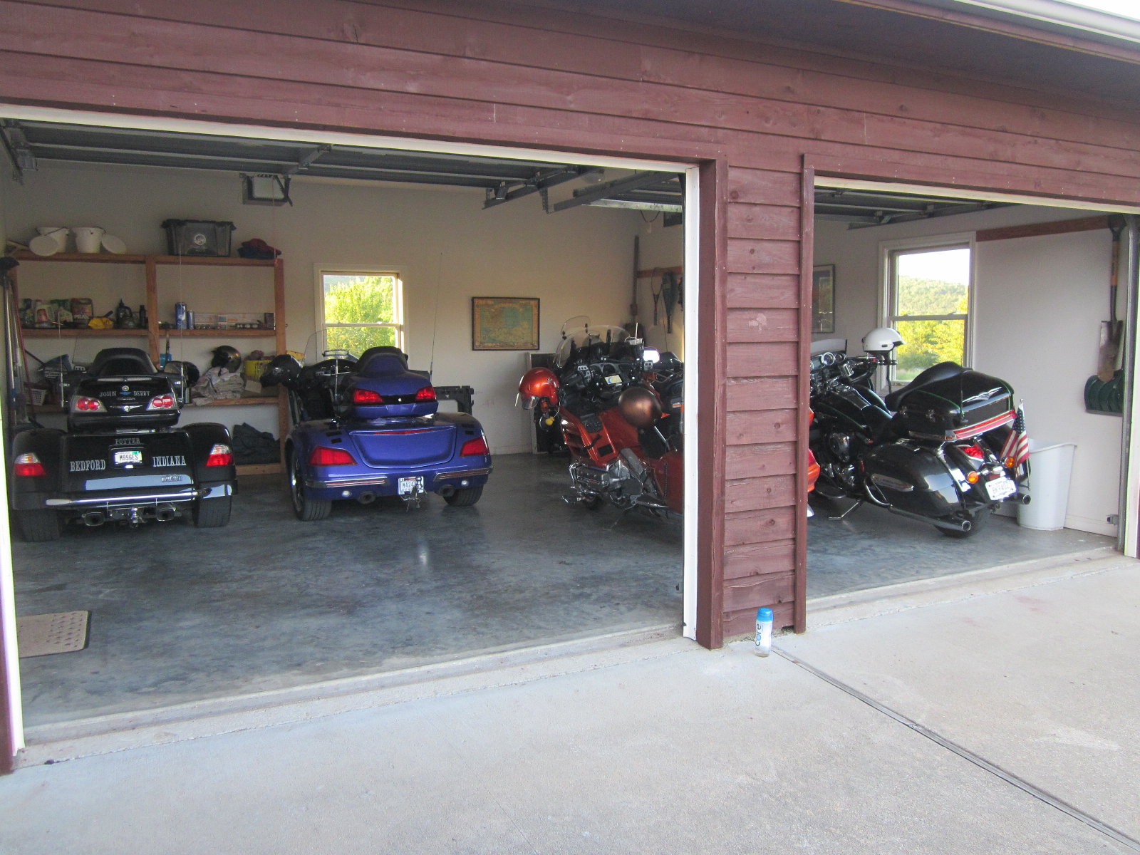 We unpacked our trailers and put the bikes away. There is a threat of rain during the night. We spent the rest of the night lounging, resting, cleaning, talking, planning, and eating Lambert's leftovers. Ahhhhhh...vacation.
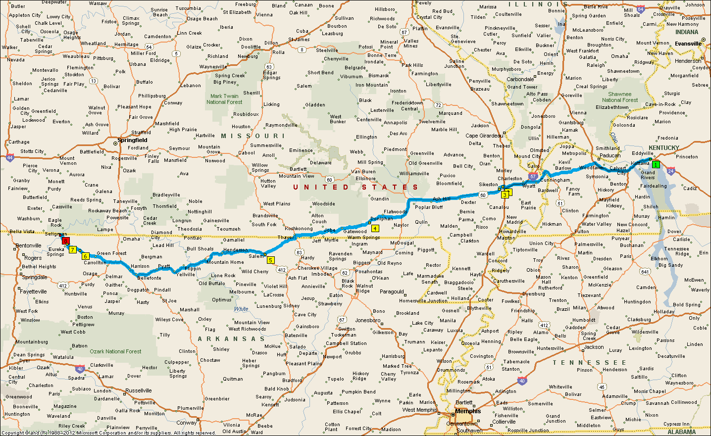
373 miles. Click here for the next day's adventure.
|
 E-mail me